Home
» New Trends
»
Building the Sky Highway: The Infrastructure Aerial Freight Needs to Scale
Building the Sky Highway: The Infrastructure Aerial Freight Needs to Scale
The biggest infrastructure challenge in aerial freight is not building an aircraft that can carry a box. It is building a complete network in which aircraft can launch, land, recharge, communicate, avoid conflicts, transfer cargo, handle bad weather, recover from failures, and operate legally at useful scale. A drone that can fly 20 or 50 miles is only one link in that chain.
That distinction matters because different freight missions need very different “sky highways.” A rural medical-delivery route may work with a few secure launch sites, battery swaps, reliable command-and-control links, and approved beyond-visual-line-of-sight operations. A dense urban parcel network may also need highly automated traffic coordination, rooftop or ground landing facilities, local weather sensing, noise management, secure handoff areas, and enough electrical capacity to recharge many aircraft during peak demand. Larger electric VTOL cargo aircraft add another layer: load-bearing vertiports, fire and rescue planning, higher-power charging, alternate landing sites, and integration with airports or existing logistics hubs.
That is why the emerging aerial freight network should be thought of as physical infrastructure + digital infrastructure + operating infrastructure, not simply flight corridors drawn on a map.
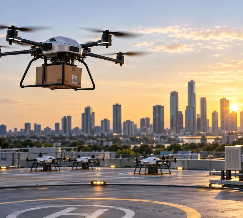
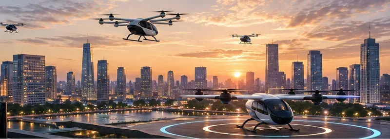
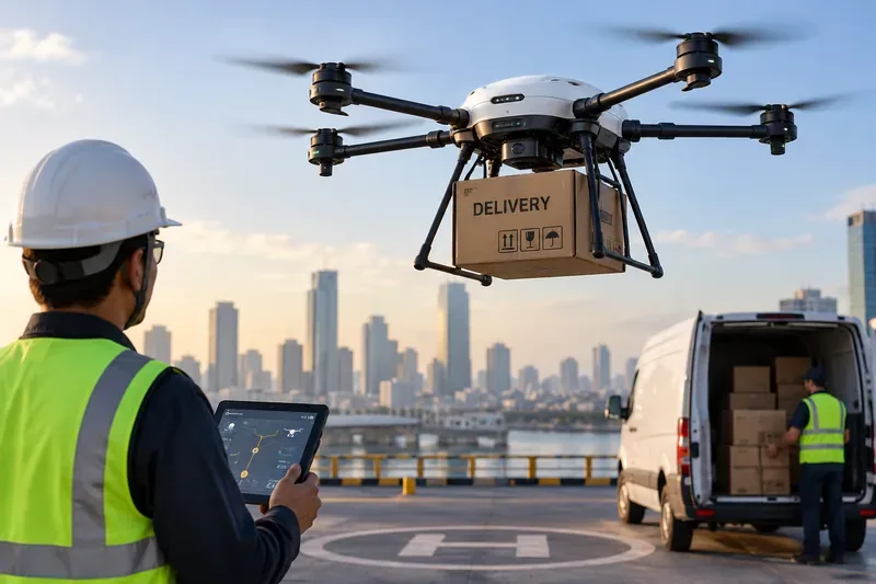
Aerial freight depends on more than the aircraft: landing areas, fleet staging, power, communications, traffic coordination, and links to the ground logistics network all have to work together.
The first bottleneck: routine BVLOS operations
For aerial freight to become economically useful, aircraft often need to fly beyond visual line of sight (BVLOS), meaning beyond the direct visual range of the person responsible for the flight. Requiring a human observer along every route can erase much of the labor advantage of autonomous or highly automated delivery.
In the United States, the FAA issued a major proposed BVLOS rule in August 2025. The proposal is intended to create a more predictable regulatory framework for routine low-altitude BVLOS operations, including package delivery, and includes provisions for aircraft, separation from other aircraft, operations, security, recordkeeping, and third-party services such as UAS Traffic Management. The rulemaking went through additional comment activity in 2026 and appears on the 2026 federal regulatory agenda at the final-rule stage. Until an effective final framework applies, operators still need to work through the existing certification, exemption, waiver, and operating-authorization pathways that fit their mission. See the FAA BVLOS rulemaking overview and the FAA package-delivery-by-drone guidance.
This is not merely paperwork. BVLOS infrastructure has to support the safety case. An operator may need dependable navigation, aircraft-to-operator communications, surveillance or detect-and-avoid capability, contingency procedures, remote identification, geospatial data, and a way to respond when links, weather, or aircraft systems degrade.
When this challenge matters most
If your freight route is a short, private-site shuttle with clear visual oversight, regulatory complexity may be manageable without a fully mature BVLOS ecosystem. If the business model requires hundreds of daily flights spread across suburbs, rural corridors, or a city, BVLOS is foundational rather than optional.
The second bottleneck: traffic management that scales like software
Traditional air traffic control is not designed to have a controller verbally manage every low-altitude delivery drone. The FAA's concept for UAS Traffic Management (UTM) instead relies heavily on automated, networked information exchange among operators, service suppliers, and the FAA.
The FAA describes UTM as a collaborative ecosystem for low-altitude drone operations that can support functions such as flight planning, authorization, surveillance, and conflict management. The agency's current vision is especially important for multiple overlapping BVLOS operations: operators and service providers exchange flight intent and constraints through distributed systems and application programming interfaces rather than relying primarily on voice communication with air traffic controllers. See the FAA UTM overview.
Europe is pursuing a related model called U-space. EASA identifies the core U-space regulatory package as Regulations (EU) 2021/664, 2021/665, and 2021/666, covering U-space services, dynamic airspace reconfiguration, and electronic conspicuity requirements. EASA's June 2026 consolidated UAS rules also incorporate the latest SORA 2.5 risk-assessment package for operations in the “specific” category. See EASA's U-space regulations summary and the June 2026 Easy Access Rules for UAS.
What a freight operator actually needs from UTM or U-space
Accurate flight-intent sharing among operators.
Rapid distribution of temporary airspace restrictions and other constraints.
Conflict detection between simultaneous operations.
Machine-readable authorization and status services.
Clear rules for priority, right-of-way, emergencies, and degraded service.
Cybersecurity and identity mechanisms strong enough for commercial operations.
Interoperability so a route does not depend on one proprietary local platform.
A single company operating alone over a low-density rural area may not need the same UTM sophistication as six delivery networks sharing suburban airspace. The infrastructure requirement rises with traffic density, operator overlap, and the consequences of a coordination failure.
The third bottleneck: landing sites are logistics facilities, not painted circles
A freight landing site must do more than provide enough clear space for takeoff and landing. It has to connect the aircraft to the next logistics step.
For small delivery drones, that may mean a protected launch pad, automated loading fixture, battery or charging station, secure parcel handoff, weather sensor, perimeter control, network connection, and maintenance access. For larger cargo-capable electric VTOL aircraft, the site can begin to resemble an aviation facility with structural load requirements, approach and departure paths, downwash or outwash protection, fire response, parking, energy infrastructure, cargo handling, and alternate landing planning.
The FAA says early Advanced Air Mobility operations are expected to use existing airports and heliports where practical, while purpose-built vertiports and vertistops will also be needed. Its current Advanced Air Mobility infrastructure guidance points to Engineering Brief 105A for vertiport design and notes that charging stations and on-airport vertiports may have to be reflected in airport layout plans. See the FAA Advanced Air Mobility infrastructure guidance.
NASA reaches the same conclusion from a research perspective: new aviation will require both physical infrastructure, such as vertiports and charging stations, and digital infrastructure for aircraft-to-aircraft and aircraft-to-air-traffic-system communication. See NASA's infrastructure overview for Advanced Air Mobility.
Why location matters as much as pad design
A technically perfect vertiport can still be a poor freight node if it is far from warehouses, hospitals, retail distribution centers, highways, rail terminals, or the final customer. Every extra truck transfer weakens the advantage of airborne transport.
For high-value, time-critical freight, such as medical supplies or urgent industrial parts, a site next to the actual origin and destination may justify higher infrastructure cost. For low-margin consumer parcels, a network may need tightly optimized consolidation hubs so that the aircraft does not save 15 minutes in the air only to add 30 minutes of ground handling.
The fourth bottleneck: charging power and energy turnaround
Electric aircraft convert an aviation problem into a power-infrastructure problem. A fleet does not only need enough energy for one flight; it needs enough charging or battery-swap capacity to sustain a schedule.
Consider a simple example. Ten aircraft can each be perfectly capable of a 20-minute mission, but if all ten return at the same time and the site can only recharge two efficiently, the effective fleet capacity is constrained by the ground power system rather than by aircraft performance.
Planning therefore has to include:
Peak electrical demand, not just average consumption.
Charging-station location and safe clearances.
Battery cooling and turnaround time.
Backup power or operational plans for grid outages.
Battery storage, inspection, quarantine, and fire procedures.
Expansion capacity for a larger fleet.
For larger AAM vehicles, the challenge can become more significant because charging loads are much higher. The FAA notes that national siting criteria for AAM charging stations are still developing and that charging infrastructure may require airspace and airport-layout review at certain airports. The same FAA guidance also notes ongoing research with the National Renewable Energy Laboratory on hydrogen infrastructure standards, underscoring that future freight networks may need to accommodate more than one energy architecture.
The fifth bottleneck: communications cannot be treated like ordinary mobile data
An autonomous freight aircraft needs a dependable command-and-control (C2) path—the communications link used to monitor and, when necessary, direct the aircraft. Losing a video stream is inconvenient. Losing the safety-critical command path of an aircraft is a different class of problem.
Coverage maps built for people on streets do not automatically guarantee reliable service at low altitude across an entire route. Buildings, terrain, cell handoffs, network congestion, interference, and antenna geometry can all affect airborne connectivity.
NASA tested 5G-based aviation communications in 2025 specifically to understand how commercial wireless networks might support future aviation operations. NASA has also been testing communications systems, weather services, and autonomous capabilities for remotely piloted cargo flights. See NASA's 5G aviation-network testing and NASA's remotely piloted cargo testing campaign.
For a rural freight corridor, this may mean combining cellular connectivity with other links or designing routes around verified coverage. For dense urban operations, the issue may be less about total signal availability and more about interference, network loading, redundant links, cybersecurity, and predictable handoff performance.
The sixth bottleneck: hyperlocal weather
Weather is an infrastructure problem because small aircraft can be sensitive to conditions that conventional airport observations do not fully capture. Wind around buildings, gusts near rooftops, temperature, precipitation, visibility, icing risk, and rapidly changing local conditions can determine whether a flight is safe or economically useful.
A single airport weather station several miles away may not describe the airflow at an elevated urban landing site. NASA's vertiport research has explicitly examined surface-level sensing for wind direction, wind velocity, and temperature. See NASA's vertiport research overview.
Weather infrastructure becomes more valuable as operators try to reduce unnecessary cancellations without reducing safety margins. Better local data can support smarter dispatch decisions, alternate-route planning, and site-specific operating limits.
The seventh bottleneck: cargo handling has to become automated too
If a highly automated aircraft lands but requires several employees to unload it, scan the parcel, move the aircraft, swap a battery, reload it, and manually release the next flight, the ground operation becomes the throughput limit.
A scalable aerial freight node may need some combination of automated loading, standardized containers, machine-readable cargo identity, weight and balance verification, secure lockers, robotic handling, battery swapping, inspection cameras, and integration with warehouse-management software.
This is where aerial freight starts to look less like “a drone service” and more like a new layer of the logistics network. The aircraft schedule has to synchronize with trucks, warehouse cutoffs, parcel sorting, customs processes where applicable, and customer delivery windows.
The eighth bottleneck: maintenance and recovery capacity
High utilization creates a maintenance challenge. A fleet that flies repeatedly every day accumulates cycles on batteries, motors, propellers, landing gear, connectors, and airframes much faster than a demonstration aircraft.
Infrastructure therefore has to support inspections, parts inventory, software updates, battery health tracking, fault isolation, and recovery of disabled aircraft. Operators also need predefined contingency locations and procedures for cases such as degraded navigation, lost communications, worsening weather, or a landing site becoming unavailable.
For larger VTOL aircraft, diversion capability becomes even more important. EASA's 2026 air-operations rules for Innovative Air Mobility require operators to consider adequate vertiports and diversion locations, including compatibility with aircraft dimensions and weight, approach and departure paths, rescue and firefighting services, and availability. See the EASA Easy Access Rules for Air Operations, March 2026 revision.
The ninth bottleneck: cities have to accept the network
A route can be technically safe and still fail as public infrastructure. Communities may care about noise, visual impact, privacy, perceived surveillance, emergency access, rooftop development, curbside congestion, and where aircraft fly relative to homes, schools, parks, and sensitive sites.
That makes community integration part of system design rather than a communications task added at the end. Routes, operating hours, pad locations, fleet size, aircraft noise, and emergency procedures may all need local input.
ICAO describes unmanned aviation and Advanced Air Mobility as a global integration challenge involving UAS, remotely piloted aircraft, UTM, vertiports, and technical standards. Its role is to develop international standards and guidance so these systems can fit safely into the wider aviation system. See the ICAO unmanned aviation and Advanced Air Mobility portal.
Which infrastructure model fits which freight mission?
High-value/time-sensitive cargo where ground congestion creates a meaningful advantage
Regional heavy eVTOL cargo
Vertiports/airports, high-power charging or alternative energy, cargo handling, maintenance, alternates, conventional airspace integration
Longer routes with enough payload value to justify aviation-grade infrastructure
How to tell whether an aerial freight corridor is actually ready
A route is not ready just because the aircraft can complete a demonstration flight. A useful pre-deployment check asks whether the complete network can sustain operations on an ordinary day and recover on a bad one.
Airspace: Is there a legal and operational path for the intended BVLOS and traffic-density level?
Ground sites: Can every endpoint safely launch, land, load, unload, and secure the aircraft?
Energy: Can the sites support peak charging or battery-turnaround demand without creating a queue?
Connectivity: Has C2 coverage been tested along the route, including degraded and backup modes?
Weather: Are dispatch decisions based on data that represent the actual route and landing sites?
Traffic coordination: Can the operation coexist with other drones and conventional aviation?
Maintenance: Can failed aircraft, batteries, and components be removed from service quickly and traceably?
Logistics integration: Does the air leg connect cleanly with warehouse, truck, locker, or customer workflows?
Community: Are noise, privacy, land-use, emergency-response, and operating-hour concerns addressed?
Economics: Does the full infrastructure cost still leave a reason to move the freight by air?
The practical lesson: build nodes before promising highways
The phrase “sky highway” can make aerial freight sound like a road network floating above a city. In practice, the harder engineering work is at the nodes and in the digital layer between them.
A successful network needs dependable landing and cargo-transfer sites, enough electrical or fuel infrastructure for fleet utilization, communications that behave like aviation infrastructure rather than consumer connectivity, localized weather information, automated traffic coordination, maintenance and contingency capacity, and rules that let those elements work together.
For low-density, high-value routes, much of that can be built incrementally. A medical-supply corridor or industrial shuttle may justify a small number of well-instrumented sites and tightly defined procedures. For mass-market urban freight, the requirements become much closer to a new public transportation layer: standardized facilities, interoperable digital services, high-capacity energy systems, community acceptance, and regulatory frameworks that support many operators at once.
The aircraft is the visible part of aerial freight. The infrastructure is what decides whether it remains a demonstration or becomes logistics.